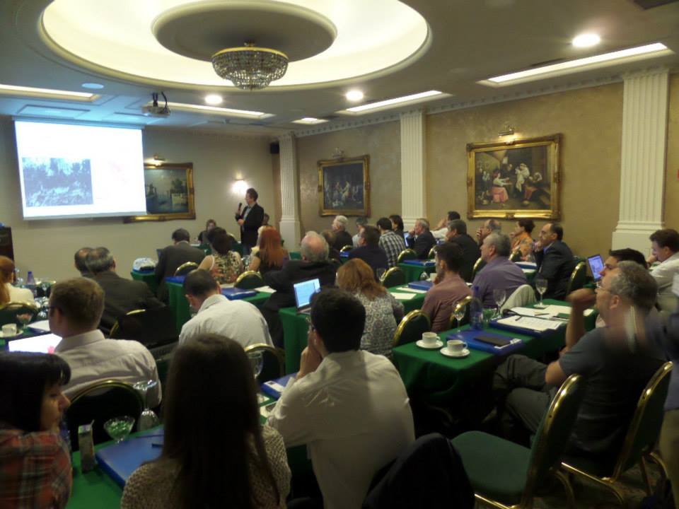
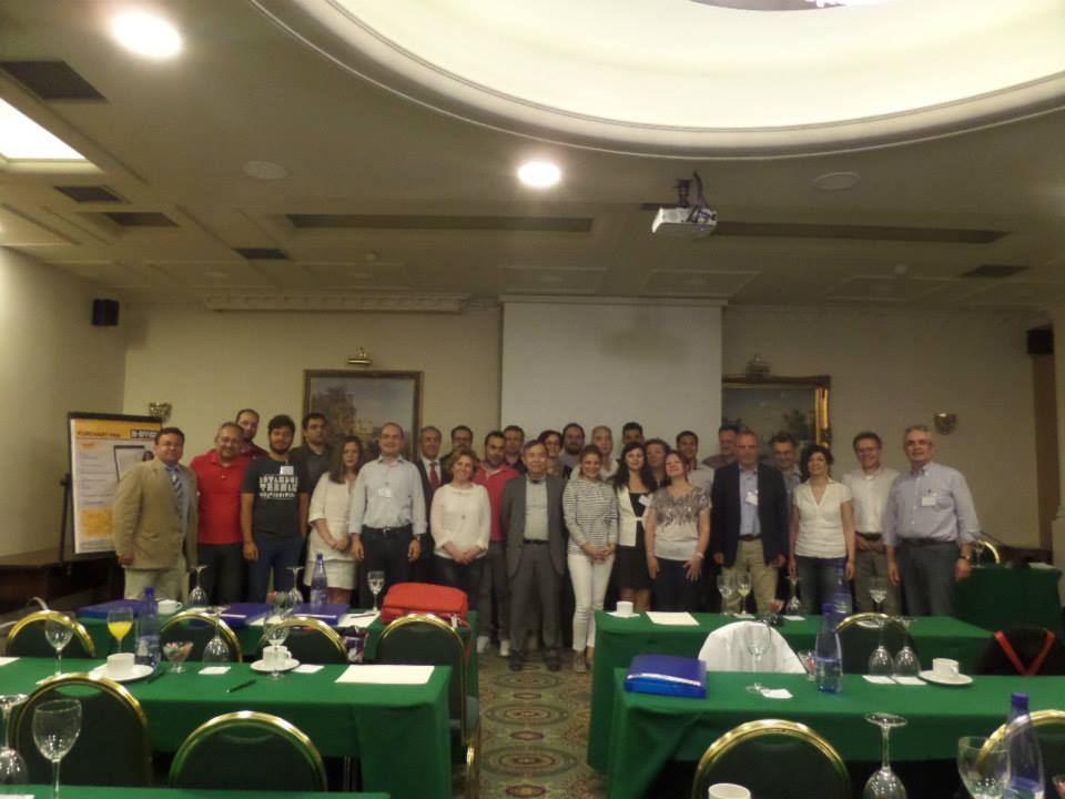
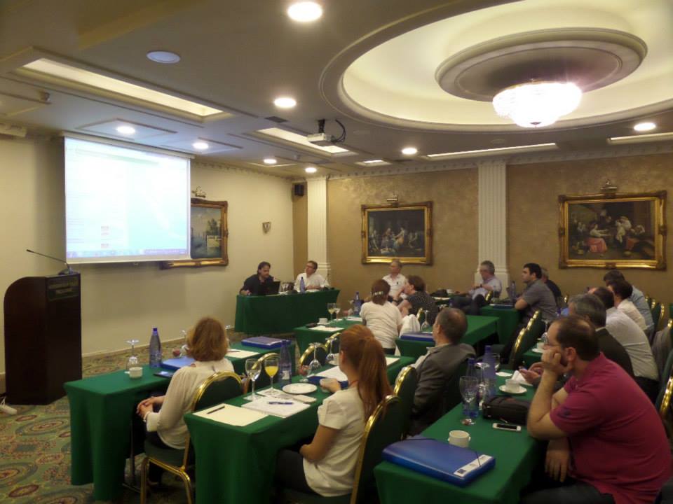
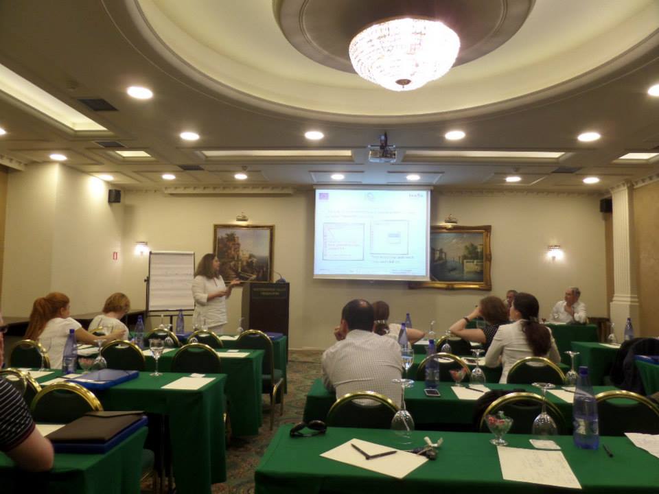
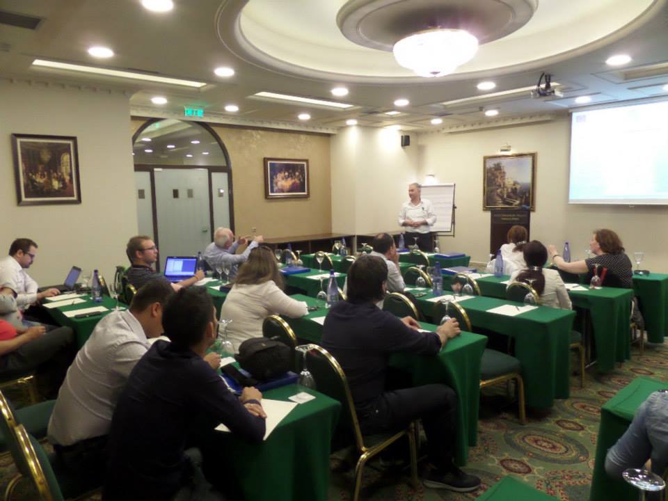
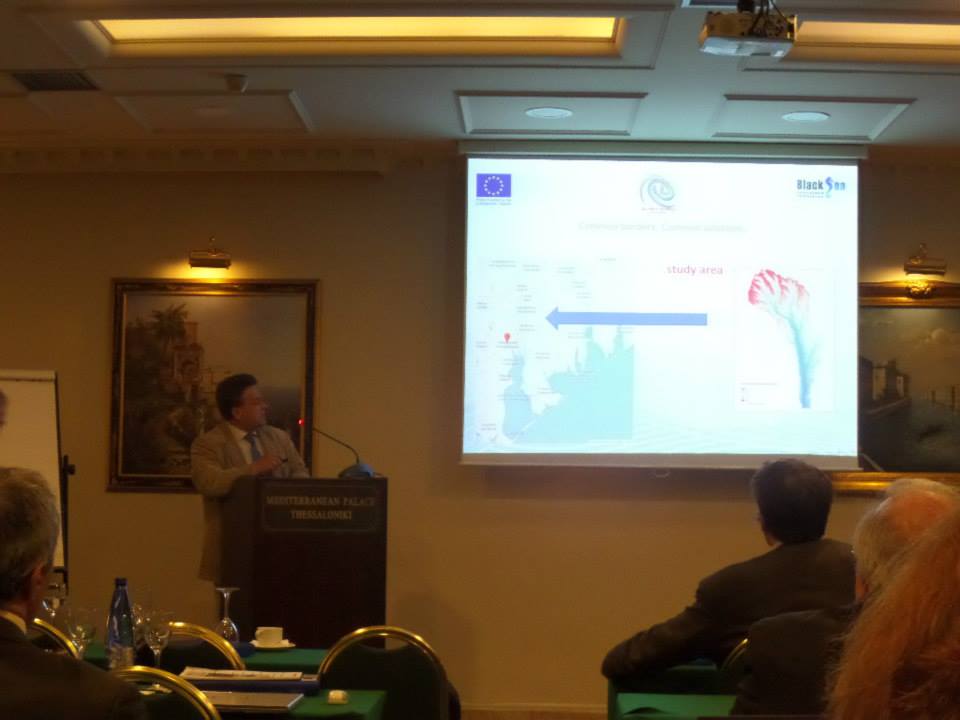
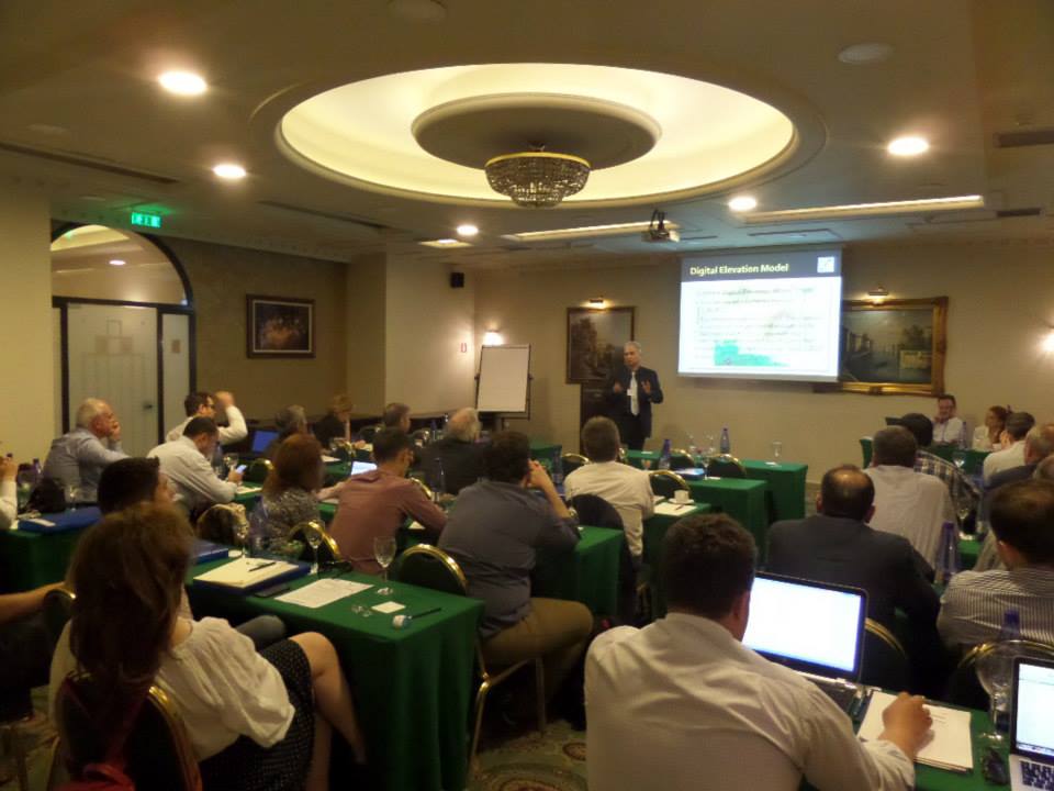
A Scientific Network for Earthquake, Landslide and Flood Hazard Prevention
  • Home
  • The Project
    • Project Implementation areas
    • Project Timetable
  • Partners
  • Events
    • Kick Off Meeting
    • 1st Progress Meeting
    • 1st Project’s Workshop
    • Training Seminar for Beneficiaries
    • 2nd Progress Meeting
    • 3rd Progress Meeting
    • Final Stakeholders Meeting
  • Publicity
    • Posters
    • Presentations
    • Press Releases
    • Publicity Documents
  • Documents
    • Seminar’s Manuals
    • Deliverables
  • Achievements
  • Open Seminars
    • Open seminars Thessaloniki, Greece
    • Open seminars Serres, Greece
    • Open seminars Xanthi, Greece
    • Open Seminars Burgas, Bulgaria
    • Open seminar Odessa, Ukraine
    • Open seminar Chisinau, Moldova
  • News
  • links
  • Contact Us

 Date  7-9  May 2015
 Location  Thessaloniki, Greece
Responsible Partner  P2: ‘Institute of Engineering Seismology & Earthquake Engineering (EPPO – ITSAK)
 Participants  All Partners
Poster  of the event  Poster

Event material: Presentations

  • IPA_GA1_Activity 1.13_KOERI_ver4a
  • P2_SciNetNatHazPrev_ThesNiki_May_7_9_2014_BMAR
  • Regional-scale flood hazard modelling in Tekirdağ and Samsun
  • Using Morphometric models and Open Source Software to locate Flood prone areas
  • HEC RAS…… step by step floods
  • LB_QGIS Flood Hazard assessment_Tutorial
  • Flood Hazard assessment – From Regional to Local scale
  • Floodplain modeling
  • Flash flood hazards and land cover classification Sarata river case study
  • Landslide Hazard Assessment on a site-specific scale: vertical road axis No75, Komotini-Nymfaia to Hellenic-Bulgarian border
  • Using Q-GIS Tools for for Landslide Hazard Assessment in Danube region Ukraine
  • Landslide susceptibility assessment of Bulgarian Black Sea coast with using of Mora and Vahrson method
  • Landslide Hazard Assessment Models at Regional Scale – Dobrogea region
  • Microzonation for rainfall induced landslide
  • A brief presentation of the Scinetnathaz adopted approach
  • A Web Tool for accessing Earthquake Data
  • Monographs Internet accessed database
  • Online monitoring of accelerometer stations


Contact Person

  • Dr Konstantinos Papatheodorou
  • Project Coordinator
  • Associate Professor
  • Civil Engineering and Surveying & Geomatics Engineering Department
  • T.E.I of Kentriki Makedonia ,Greece
  • Terma Magnisias Str, 62124,Serres, Greece
  • conpap@teiser.gr
 

Latest News

  • Open Seminars : Chisinau, Moldova
  • Open seminars Thessaloniki, Greece
  • Open seminars Serres, Greece
  • Open Seminars Burgas, Bulgaria
  • Open Seminars Xanthi, Greece
  • Project’s webinar – Moldova (Responsible Partner : IEEN «D. Ghitu» of the Academy of Scinces of Moldova)
 eu SCINET-NatHaz_LOGO

This website has been produced with the assistance of the European Union

logo_bs